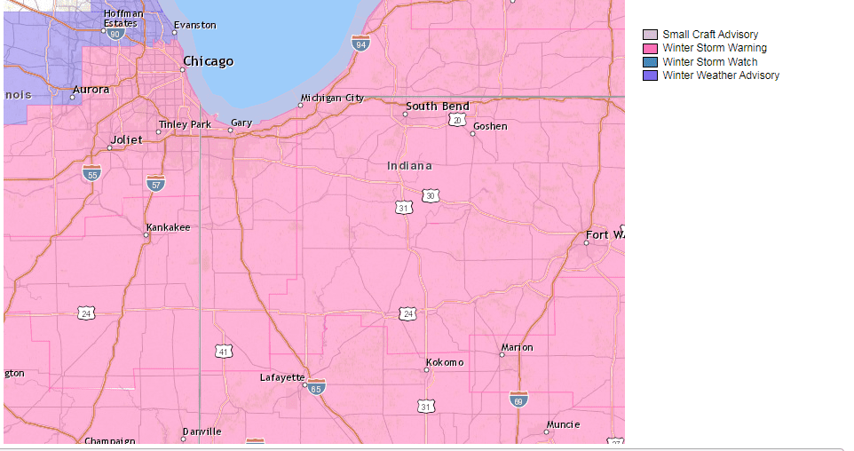
The following are Winter Storm Warning messages from the National Weather Services of Northern Indiana and Chicago:
URGENT – WINTER WEATHER MESSAGE
National Weather Service Northern Indiana
955 PM EST Tue Feb 1 2022
INZ003>008-012>016-020-022-MIZ077>081-021200-
/O.CON.KIWX.WS.W.0002.220202T0600Z-220204T0000Z/
La Porte-St. Joseph-Elkhart-Lagrange-Steuben-Noble-Starke-Pulaski-
Marshall-Fulton-Kosciusko-White-Cass-Berrien-Branch-Hillsdale-
Including the cities of Michigan City, La Porte, South Bend,
Mishawaka, New Carlisle, Walkerton, Elkhart, Goshen, Nappanee,
Lagrange, Topeka, Shipshewana, Angola, Fremont, Kendallville,
Ligonier, Albion, Knox, North Judson, Bass Lake, Winamac,
Francesville, Medaryville, Plymouth, Bremen, Culver, Rochester,
Akron, Warsaw, Winona Lake, Syracuse, Mentone, Monticello, Monon,
Brookston, Logansport, Royal Center, Niles, Benton Harbor,
St. Joseph, Fair Plain, Benton Heights, Buchanan, Paw Paw Lake,
Dowagiac, Cassopolis, Edwardsburg, Marcellus, Sturgis,
Three Rivers, White Pigeon, Mendon, Coldwater, Bronson,
Hillsdale, Jonesville, and Litchfield
955 PM EST Tue Feb 1 2022 /855 PM CST Tue Feb 1 2022/
…WINTER STORM WARNING REMAINS IN EFFECT FROM 1 AM EST /MIDNIGHT
CST/ WEDNESDAY TO 7 PM EST /6 PM CST/ THURSDAY…
* WHAT…Heavy snow expected. Total snow accumulations of 10 to
15 inches with locally higher amounts and ice accumulations of
a light glaze.
* WHERE…Portions of northern Indiana and southwest Michigan.
* WHEN…From 1 AM EST /midnight CST/ Wednesday to 7 PM EST /6
PM CST/ Thursday.
* IMPACTS…Travel could be very difficult to impossible.
Widespread blowing snow could significantly reduce visibility.
The hazardous conditions could impact travel starting late
tonight, persisting through the day Thursday.
* ADDITIONAL DETAILS…Rain will change to snow from northwest to
southeast tonight. The first round of snow late tonight into
Wednesday evening will be the when the heaviest snow will occur
with 8 to 12 inches of snow expected for the period. Additional
lighter accumulations are expected Thursday along with blowing
and drifting snow and falling temperatures. Visibilities will be
reduced Thursday, especially in rural areas.
PRECAUTIONARY/PREPAREDNESS ACTIONS…
This storm will bring potentially dangerous winter weather early
Wednesday through Thursday. Unplowed roads are likely to become
impassable over most areas. Plummeting wind chills accompanied by
blowing and drifting snow could bring a potentially lethal travel
situation with wind chills falling below zero if you become stuck
in your vehicle Thursday night. Plan now to make any needed
travel changes to avoid travel during this time. Monitor the
latest forecasts for updates on this developing major winter
storm. If you must travel, keep an extra flashlight, food, and
water in your vehicle in case of an emergency.
URGENT – WINTER WEATHER MESSAGE
National Weather Service Chicago IL
1110 PM CST Tue Feb 1 2022
ILZ023-032-033-039-INZ001-002-010-011-019-021315-
/O.CON.KLOT.WS.W.0003.000000T0000Z-220204T0000Z/
Kankakee-Livingston-Iroquois-Ford-Lake IN-Porter-Newton-Jasper-
Benton-
Including the cities of Kankakee, Bourbonnais, Bradley, Pontiac,
Dwight, Fairbury, Watseka, Gilman, Paxton, Gibson City, Gary,
Hammond, Merrillville, Portage, Valparaiso, Chesterton, Roselawn,
Kentland, Morocco, Rensselaer, DeMotte, Fowler, and Oxford
1110 PM CST Tue Feb 1 2022 /1210 AM EST Wed Feb 2 2022/
…WINTER STORM WARNING REMAINS IN EFFECT UNTIL 6 PM CST /7 PM
EST/ THURSDAY…
* WHAT…Heavy snow rates and dangerous travel conditions
expected. Total snow accumulations of 9 to 14 inches through
Wednesday afternoon. The highest snowfall rates, in excess of
one inch per hour, will occur late tonight through early
afternoon Wednesday. An additional 2 to 5 inches of snow may
fall from Wednesday night through Thursday.
* WHERE…Portions of northwest Indiana and east-central
Illinois.
* WHEN…Until 6 PM CST /7 PM EST/ Thursday.
* IMPACTS…Travel will be very difficult to impossible. The
hazardous conditions will impact both the morning and evening
commutes on Wednesday and Thursday.
* ADDITIONAL DETAILS…Snow intensity will ease considerably,
and snow may even briefly end, Wednesday evening before
additional snow develops after midnight.
PRECAUTIONARY/PREPAREDNESS ACTIONS…
If you must travel, keep an extra flashlight, food, and water in
your vehicle in case of an emergency.
In Illinois, the latest road conditions can be obtained on the
internet at www.gettingaroundillinois.com. In Indiana, the latest
road conditions are available by calling 1-800-261-7623.